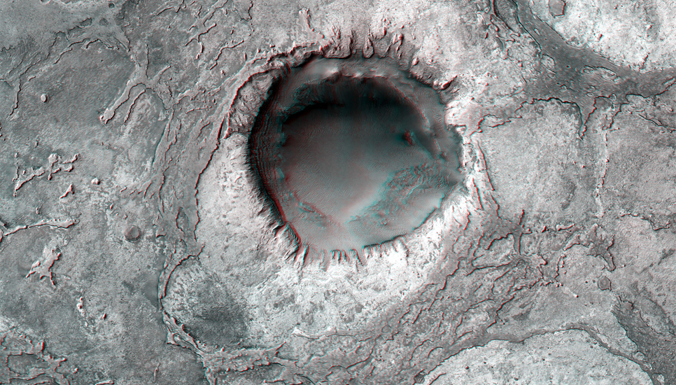
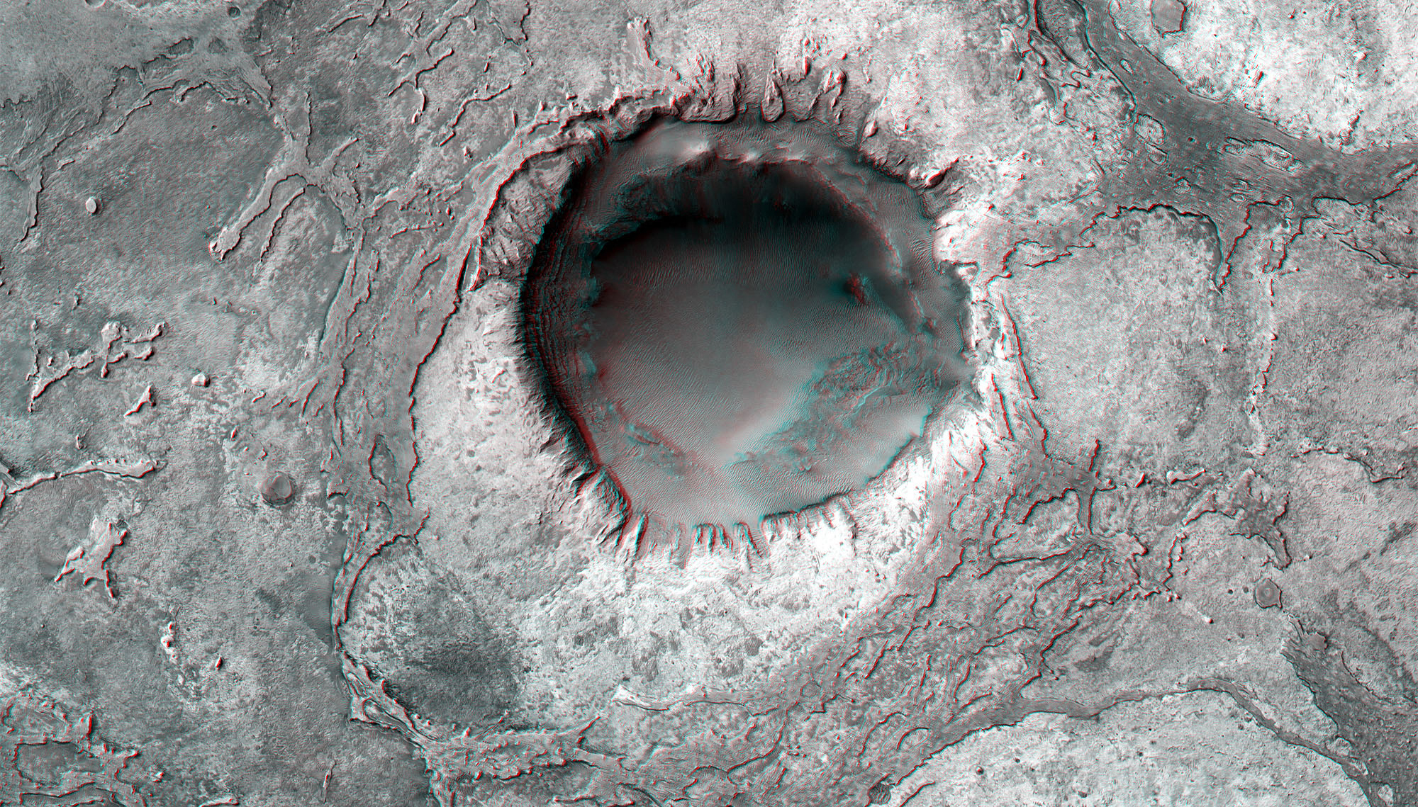
Crater in Meridiani Planum (2.3 N, 2.6 W) [3-D]

May 29, 2012
| Credit | NASA/JPL-Caltech/MSSS |
|---|---|
| Language |
|
This image shows layered sedimentary rocks and ripples that fill and surround an impact crater in Meridiani Planum, an equatorial region where the rover Opportunity has been exploring the Martian surface since January 2004. These layered deposits may have formed through the accumulation of sediment that were transported into this region by blowing wind or flowing water.

