Images
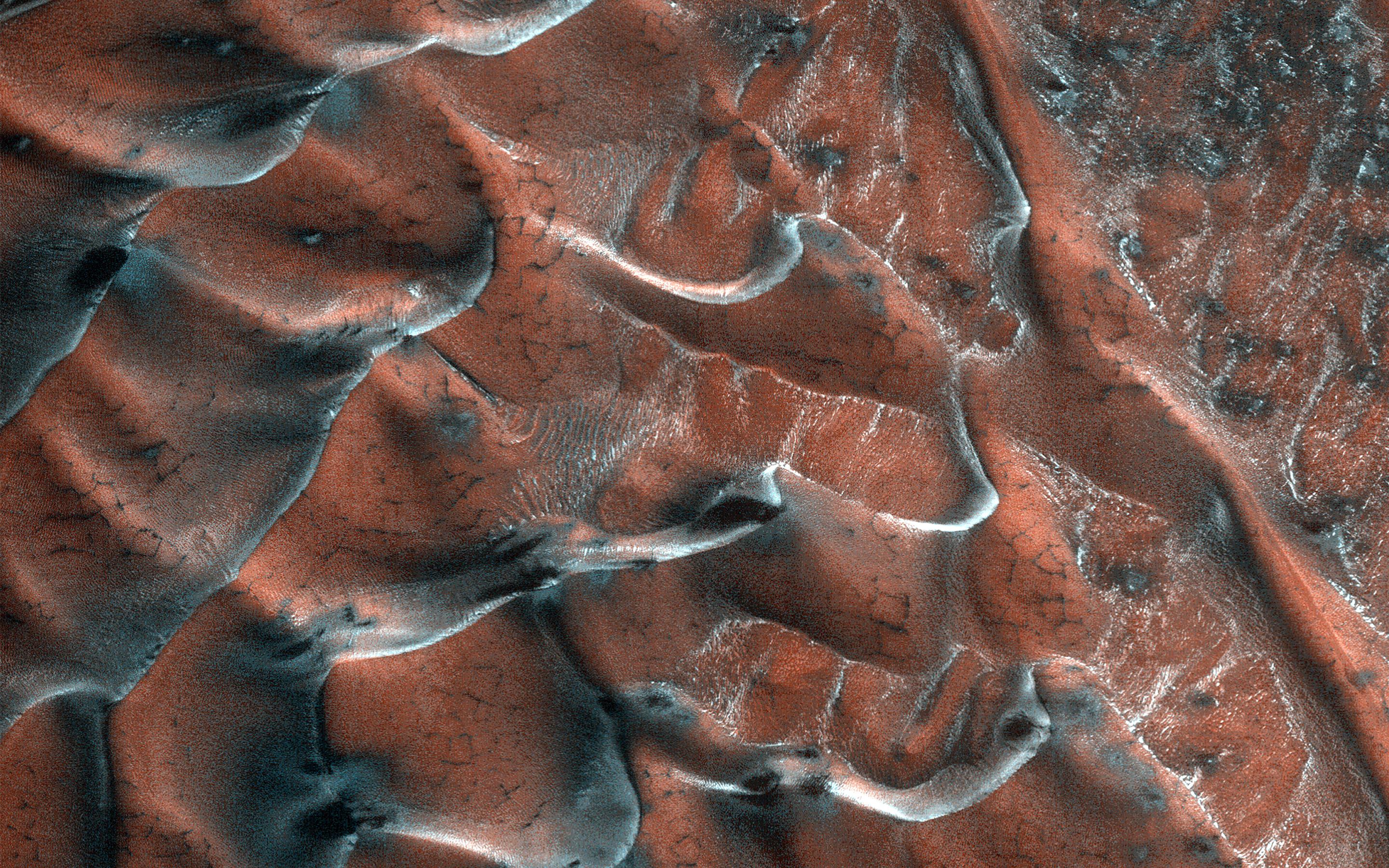
Frosty Sand Dunes of Mars
March 22, 2021
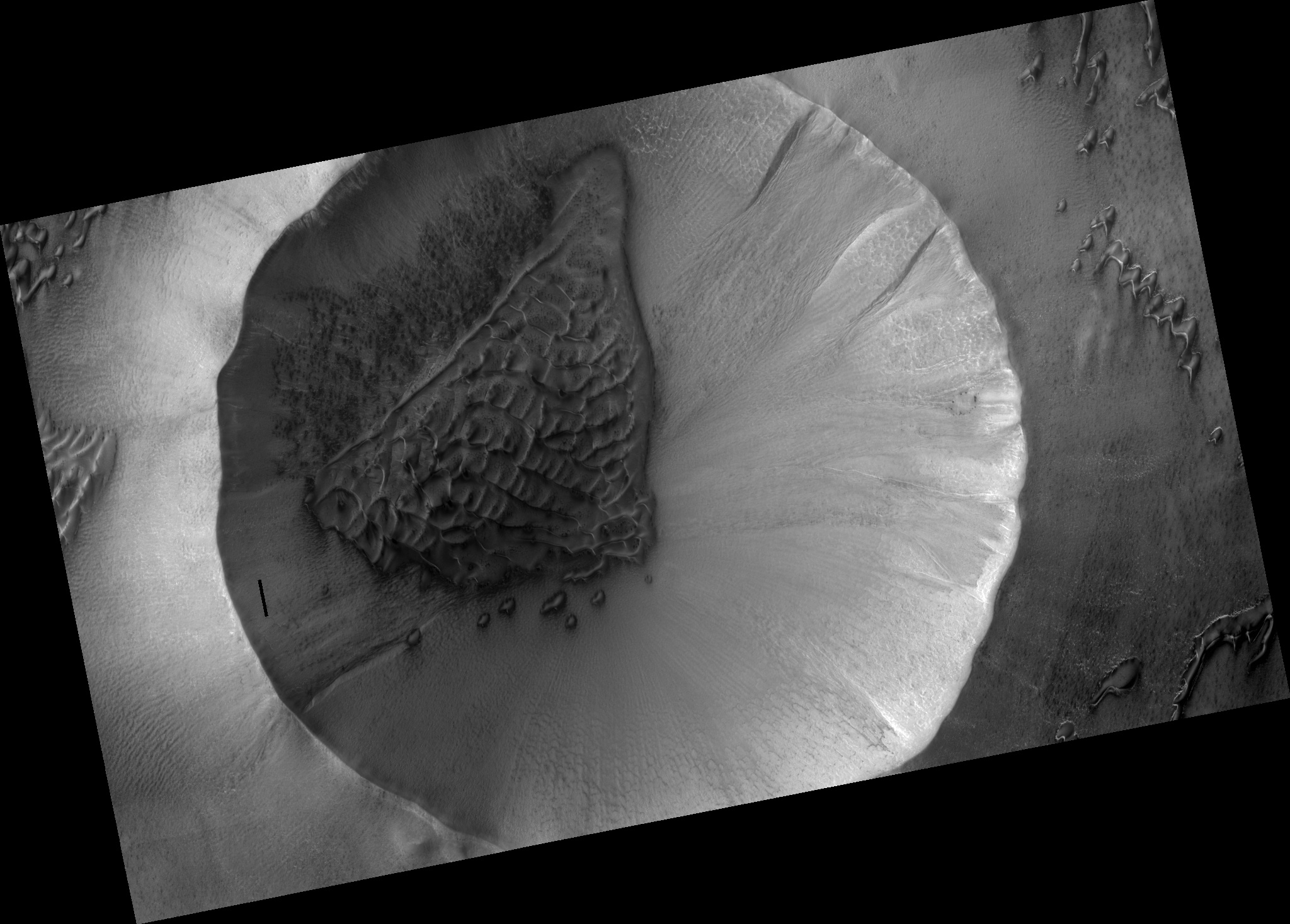
Map Projected Browse Image
Click on image for larger version
A field of sand dunes occupies this frosty 5-kilometer diameter crater in the high-latitudes of the northern plains of Mars. Some dunes have separated from the main field and appear to be climbing up the crater slope along a gully-like form.
The surface of the main dune field is characterized by a series of dark-toned polygonal patterns. These may be the result of seasonal frost processes. Several of the steeper dune slopes, pointing in the downwind direction, host narrow furrows suggesting the start of gully formation.
The crater floor contains a variety of textures, including lobate and striped patterns that indicate seasonal thaw caused by sublimating ice. Broad downslope movement of materials on the crater slopes opposite the dune field superficially resemble gullies, except that they are generally not defined by distinctive alcoves, incised channels, or sediment aprons. These are the hallmarks of gullies elsewhere on the planet.
The map is projected here at a scale of 50 centimeters (19.7 inches) per pixel. (The original image scale is 63.6 centimeters [25.0 inches] per pixel [with 2 x 2 binning]; objects on the order of 191 centimeters [75.2 inches] across are resolved.) North is up.
The University of Arizona, in Tucson, operates HiRISE, which was built by Ball Aerospace & Technologies Corp., in Boulder, Colorado. NASA's Jet Propulsion Laboratory, a division of Caltech in Pasadena, California, manages the Mars Reconnaissance Orbiter Project for NASA's Science Mission Directorate, Washington.