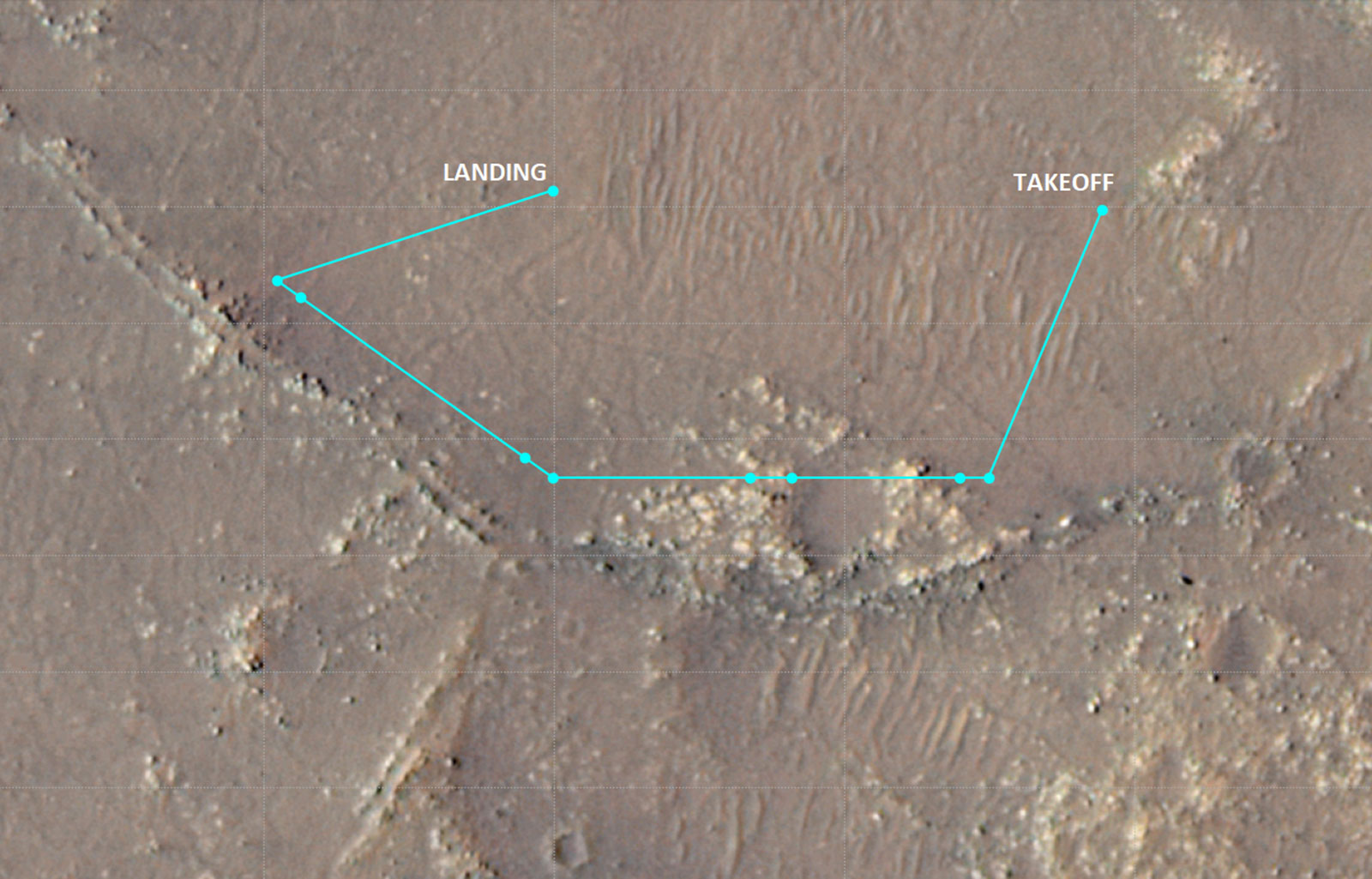
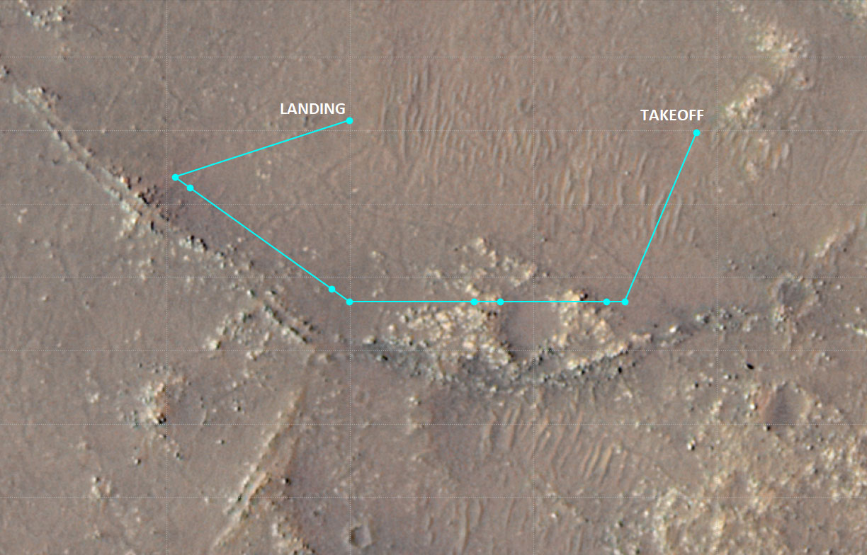
Ingenuity Flight 10 Ground Track

| Credit | NASA/JPL-Caltech/University of Arizona |
|---|---|
| Language |
|
This annotated image of Mars’ Jezero Crater depicts the ground track and waypoints for Ingenuity’s planned tenth flight – scheduled to take place no earlier than Saturday, July 24. The image was generated using terrain imaged by the HiRISE camera aboard the agency's Mars Reconnaissance Orbiter. The goal of flight 10 is to obtain stereo imagery of some geologic features of interest to the Perseverance rover science team.
The pale-blue dots indicate mission waypoints. The first and last waypoints provide takeoff and landing locations. Waypoints 2 – 9 indicate where Ingenuity color RTE camera will take pictures that could be made into stereo images.
The University of Arizona, in Tucson, operates HiRISE, which was built by Ball Aerospace & Technologies Corp., in Boulder, Colorado. NASA's Jet Propulsion Laboratory, a division of Caltech in Pasadena, California, manages the Mars Reconnaissance Orbiter Project for NASA's Science Mission Directorate in Washington.
The Ingenuity Mars Helicopter was built by JPL, which also manages the technology demonstration project for NASA Headquarters. It is supported by NASA’s Science, Aeronautics Research, and Space Technology mission directorates. NASA’s Ames Research Center in California's Silicon Valley, and NASA’s Langley Research Center in Hampton, Virginia, provided significant flight performance analysis and technical assistance during Ingenuity’s development. AeroVironment Inc., Qualcomm, and SolAero also provided design assistance and major vehicle components. Lockheed Martin Space designed and manufactured the Mars Helicopter Delivery System.

