Where Water Flowed Downslope

| Credit | NASA/JPL-Caltech/UofA |
|---|---|
| Language |
|
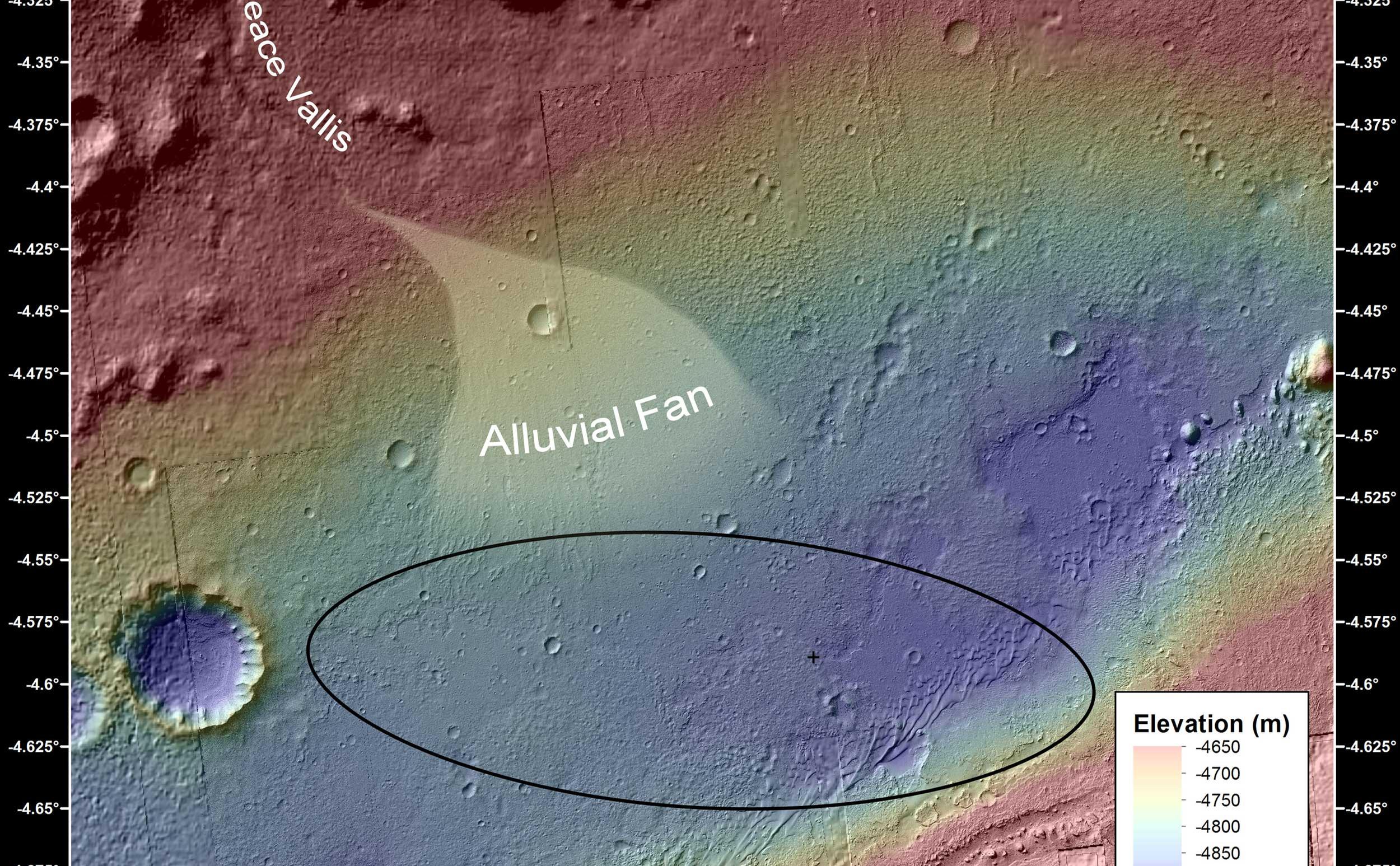
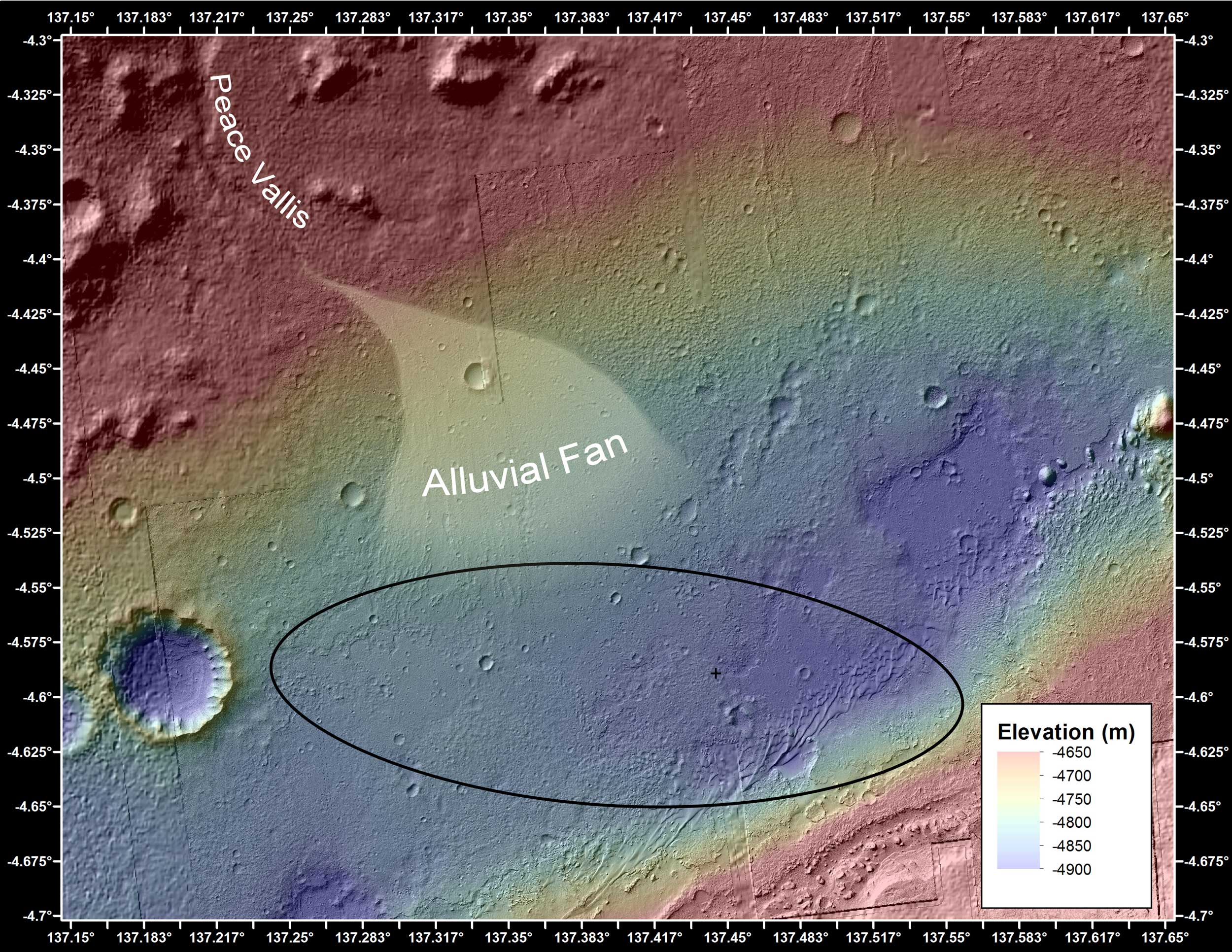
This image shows the topography, with shading added, around the area where NASA's Curiosity rover landed on Aug. 5 PDT (Aug. 6 EDT). Higher elevations are colored in red, with cooler colors indicating transitions downslope to lower elevations. The black oval indicates the targeted landing area for the rover known as the "landing ellipse," and the cross shows where the rover actually landed.
An alluvial fan, or fan-shaped deposit where debris spreads out downslope, has been highlighted in lighter colors for better viewing. On Earth, alluvial fans often are formed by water flowing downslope. New observations from Curiosity of rounded pebbles embedded with rocky outcrops provide concrete evidence that water did flow in this region on Mars, creating the alluvial fan. Water carrying the pebbly material is thought to have streamed downslope extending the alluvial fan, at least occasionally, to where the rover now sits studying its ancient history.
Elevation data were obtained from stereo processing of images from the High Resolution Imaging Science Experiment (HiRISE) camera on NASA's Mars Reconnaissance Orbiter.

