Best View of Goulburn Scour

| Credit | NASA/JPL-Caltech/MSSS |
|---|---|
| Language |
|
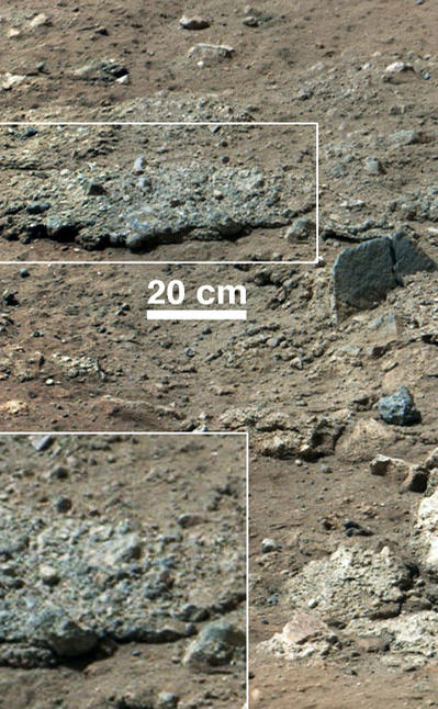
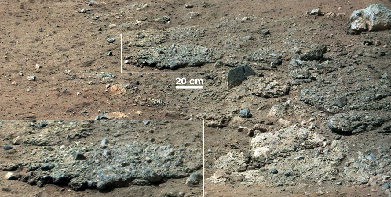
This image from NASA's Curiosity Rover shows a high-resolution view of an area that is known as Goulburn Scour, a set of rocks blasted by the engines of Curiosity's descent stage on Mars. It shows a section from a mosaic of a pair of images obtained by Curiosity's 100-millimeter Mast Camera, with three times higher resolution than previously released. Details of the layer of pebbles can be seen in the close-up. These two images were the first views of this sandy conglomerate, a sedimentary layer laid down by water in the very distant past and uncovered in August 2012 during the rover's landing. The inset magnifies the area by a factor of two. Mastcam obtained these images on Aug. 19, 2012, or the 13th sol, or Martian day, of Curiosity's surface operations.

