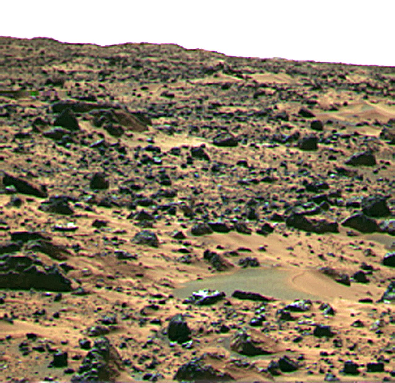
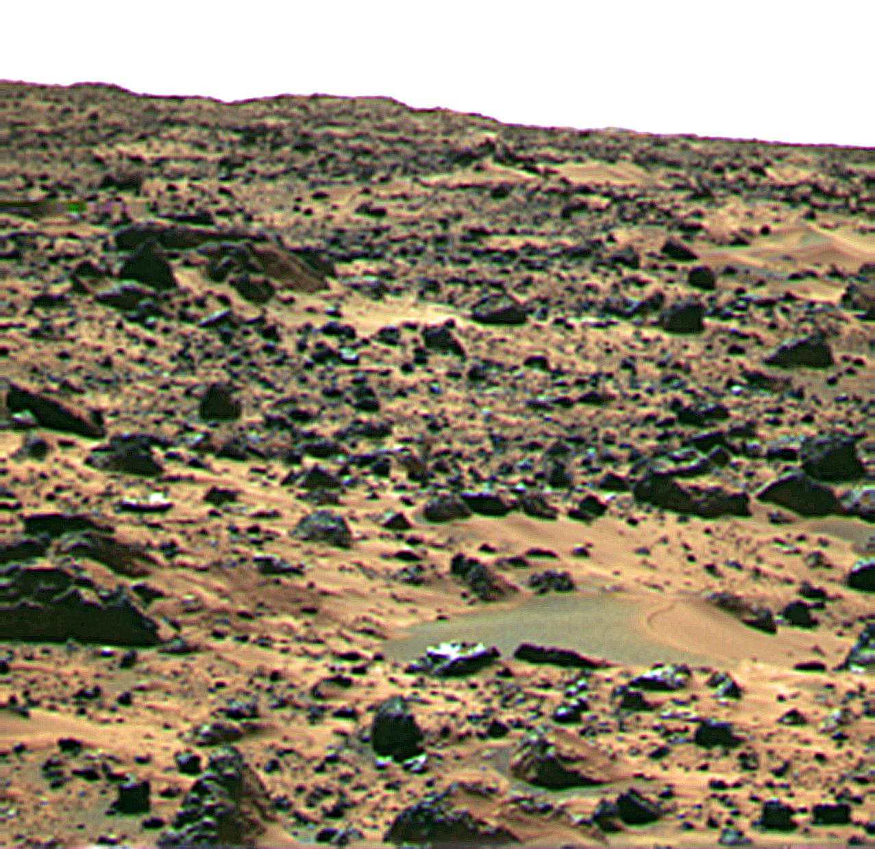
“Jenkins Dune”

| Credit | NASA/JPL |
|---|---|
| Language |
|
This image is of a landform informally called Jenkins Dune and is thought to be a small barchan dune. This feature is less than 1 foot (0.3 m) tall and perhaps 2-3 meters wide. Inferred wind direction is from the left to the right. Near the crest of the feature is a demarcation that may represent the exposure of a crust on the sediments; similar features were seen on sediments on the rock Big Joe at the Viking landing site.
Mars Pathfinder is the second in NASA's Discovery program of low-cost spacecraft with highly focused science goals. The Jet Propulsion Laboratory, Pasadena, CA, developed and manages the Mars Pathfinder mission for NASA's Office of Space Science, Washington, D.C. JPL is a division of the California Institute of Technology (Caltech).
Photojournal note: Sojourner spent 83 days of a planned seven-day mission exploring the Martian terrain, acquiring images, and taking chemical, atmospheric and other measurements. The final data transmission received from Pathfinder was at 10:23 UTC on September 27, 1997. Although mission managers tried to restore full communications during the following five months, the successful mission was terminated on March 10, 1998.

